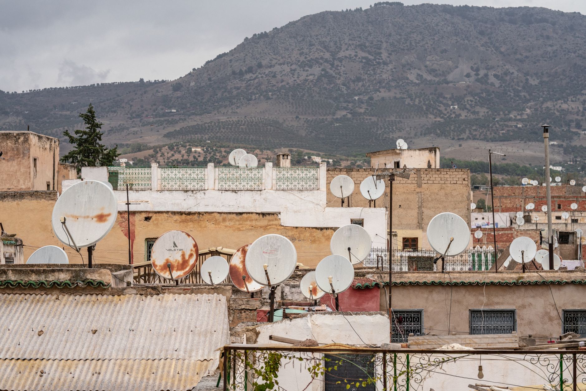

Arab Satellite 813 has successfully completed its post-launch assessment, marking a significant advancement in regional Earth observation capabilities.
Overview of Arab Satellite 813
Arab Satellite 813 represents a significant leap forward in the realm of Earth observation technology. Launched recently, this satellite is designed to enhance the capabilities of regional countries, offering advanced imaging and data collection services. With a focus on precision and efficiency, Arab Satellite 813 aims to provide critical information for a variety of applications, including environmental monitoring, urban development, and disaster management.
The satellite’s advanced features include:
- High-resolution imaging: Capable of capturing detailed images of the Earth’s surface.
- Real-time data transmission: Ensures timely access to important information for decision-makers.
- Versatility: Suitable for multiple sectors, including agriculture, forestry, and climate science.
As the Arab world continues to invest in space technology, Arab Satellite 813 serves as a beacon of progress, paving the way for enhanced cooperation and innovation in Earth observation initiatives.
Significance of Earth Observation
The significance of Earth observation cannot be overstated, especially as global challenges such as climate change and urbanization continue to escalate. The Arab Satellite 813 plays a crucial role in providing high-resolution imagery and data that can aid in monitoring these issues effectively.
Earth observation satellites contribute to various sectors, including:
- Agriculture: Enhancing crop monitoring and yield estimation.
- Disaster Management: Assisting in emergency response and recovery efforts.
- Urban Planning: Supporting sustainable development and infrastructure planning.
- Environmental Monitoring: Tracking changes in land use, deforestation, and water resources.
In this context, the Arab Satellite 813 represents a significant advancement in regional capabilities, enabling countries to make informed decisions based on accurate and timely data. By fostering collaboration among nations, this satellite not only enhances scientific research but also promotes a shared commitment to addressing pressing global challenges.
Post-Launch Assessment Results
The recent post-launch assessment of the Arab Satellite 813 has yielded promising results, marking a significant milestone in regional Earth observation capabilities. This satellite, designed to enhance the accuracy of monitoring environmental changes, has successfully completed its initial operational tests.
Key findings from the assessment include:
- Data Integrity: The satellite’s sensors have demonstrated high levels of accuracy in capturing data related to land use, vegetation health, and urban development.
- Operational Efficiency: Preliminary evaluations suggest that the Arab Satellite 813 operates with enhanced energy efficiency, allowing for extended mission longevity.
- Communication Systems: The satellite’s communication systems have shown robust performance, facilitating real-time data transmission to ground stations.
These results indicate that the Arab Satellite 813 is poised to make a substantial contribution to various sectors, including agriculture, disaster management, and climate research, by providing critical insights for decision-makers across the region.
Technological Advancements in Satellites
The launch of Arab Satellite 813 marks a significant milestone in technological advancements in the field of satellite engineering. This state-of-the-art satellite is designed to enhance Earth observation capabilities across the region.
Among its numerous features, Arab Satellite 813 boasts:
- High-resolution Imaging: The satellite is equipped with advanced imaging technology that captures detailed images of the Earth’s surface, aiding in various applications such as agriculture and urban planning.
- Data Transmission: Enhanced data transmission capabilities allow for quicker communication between the satellite and ground stations, ensuring timely access to crucial information.
- Environmental Monitoring: Arab Satellite 813 is designed to monitor environmental changes, supporting efforts in climate research and disaster management.
As a result of these innovations, Arab Satellite 813 positions itself as a leader in regional satellite technology, paving the way for improved data collection and analysis, while fulfilling the growing demand for advanced Earth observation solutions.
Future of Regional Space Programs
The future of regional space programs looks promising, particularly with the success of Arab Satellite 813. This satellite not only enhances Earth observation capabilities but also sets a precedent for collaborative efforts among Arab nations.
As countries in the region continue to invest in space technology, several key areas are expected to see significant advancements:
- Collaboration: Increased partnerships among nations will foster shared knowledge and resources, enhancing the overall effectiveness of satellite programs.
- Innovation: The success of Arab Satellite 813 may inspire the development of new technologies, leading to more sophisticated satellites in the future.
- Education: Growing interest in space programs will encourage educational initiatives, nurturing the next generation of scientists and engineers in the region.
- Economic Growth: A robust space program can stimulate local economies through job creation and technological advancements.
With Arab Satellite 813 paving the way, the region is poised to become a leader in space exploration and Earth observation.
Impact on Environmental Monitoring
The launch of Arab Satellite 813 marks a significant advancement in environmental monitoring across the region. This state-of-the-art satellite is equipped with cutting-edge technology that enhances the capabilities of Earth observation, allowing for more accurate data collection and analysis.
One of the primary impacts of Arab Satellite 813 is its ability to monitor changes in land use and natural resources. This is crucial for understanding the effects of climate change and human activity on the environment. The satellite’s high-resolution imagery provides valuable insights into:
- Deforestation and habitat loss
- Urban expansion and land degradation
- Water resource management and quality
- Agricultural productivity and crop monitoring
Furthermore, the data collected by Arab Satellite 813 can aid governments and organizations in developing effective policies and strategies for sustainable development. With its advanced capabilities, it serves as a vital tool for environmental protection and conservation efforts across the Arab region.
Photo by Mahmut Yılmaz on Pexels